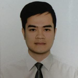
Tien Thanh HOANG
Affiliation : Reseacher/ Deputy head of department, Institute of Water resources Planning (IWRP), Ministry of Agriculture and Rural Development
Role : Remote sensing
Remarks
After graduating from university and master’s degree in environmental technical technology, I had been started researching on applications of remote sensing in water resource management, land displacement assessment, assess the situation of drought, water shortage, estimated crop yield and most recently I am the leader of the project “Research and application of remote sensing technology in monitoring the subsidence of irrigation dams in the absence or lack of monitoring data”
In addition, I have experience in running one-way and two-dimensional hydraulic models (MIKE 11, MIKE FLOOD)) in flood risk assessment for urban; application of cloud tools such as Google Earth Engine in determining the water surface change of the reservoir by time series, land use classification; application DSSAT model for estimate rice yields etc.